Grand River: Mystery river?
PROTECTED CONTENT
If you’re a current subscriber, log in below. If you would like to subscribe, please click the subscribe tab above.
Username and Password Help
Please enter your email and we will send you a password reset link.
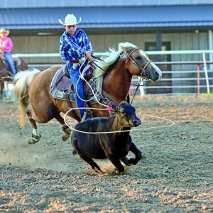
The Grand River is a major landmark in Ringgold County.
The three branches of the river – the West Fork, Middle Fork, and East Fork – all cut through the county on their way to their eventual confluence with the Missouri River in central Missouri.
Yet, through the years, the Grand River has created some confusion for mapmakers and area residents alike.
The reason? Many could not agree exactly where the Grand River was located.
For a long time, a road sign approaching a bridge on Hwy. 34 near Thayer announced the crossing of the Grand River.
In fact, many maps from the Iowa Department of Natural Resources and other sources labeled that particular river as the Grand River.
The town of Grand River in Decatur County is named for its proximity to this river.
The confusion has resulted from the identification of two rivers in southern Iowa as the “Grand River.”
Even though both rivers may colloquially continue to be called the Grand River, cartographers now universally agree the river that runs near the town of Grand River is in actuality the Thompson River, which has its source near Greenfield in Adair County and runs 188 miles south to where it empties into the actual Grand River near Chillicothe, MO.
The Grand River itself has its origin in Union County between Creston and Afton.
Although sometimes identified as the West Fork, cartographers usually identify this channel as the main Grand River as it winds its way south of Shannon City before turning southwest to flow east and south of Diagonal, east of Benton, and west of Delphos and Redding.
It skirts along the west edge of the Boone Woods Nature Area before entering the state of Missouri to complete its 226 mile journey from source to its confluence with the Missouri River near Brunswick, MO.
The Middle Fork originates west of Mount Ayr with the East Fork beginning east of Arispe. Both empty into the main Grand River south of Albany, MO.